1
/
of
1
Philip's Street Atlas Of London
Philip's Street Atlas Of London
Regular price
$11.50 NZD
Regular price
Sale price
$11.50 NZD
Unit price
/
per
Shipping calculated at checkout.
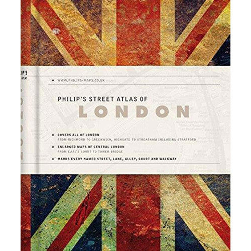
This new De Luxe edition of the fully revised mini street atlas of London is attractive, professional and discreet. This stylish edition is the perfect accessory for both handbag and briefcase. Philip's Street Atlas of London De Luxe edition is offered in a choice of three contemporary and sophisticated colours - red, navy or 'Union Jack' - each with two ribbon markers, an elastic fastener/page holder, and a section for notes. The street maps of central London are at 7 inches to 1 mile, with the rest of inner London at the clear scale of 3. 5 inches to 1 mile. The maps mark every named street, lane, alley, court and walkway, plus car parks, tube, rail and bus stations, post offices, schools, colleges, hospitals, police and fire stations, places of worship, leisure centres, footpaths and bridleways, golf courses, and many other places of interest.
| Publisher: | Philip's |
| Year: | 2012 |
| Binding: | Hardback |
| ISBN: | 9781849072281 |
| Condition: | Very Good |
Note: This image is from a stock photo and may differ from the actual cover.
SKU: 1603648
Location: London
Location: London
Share